
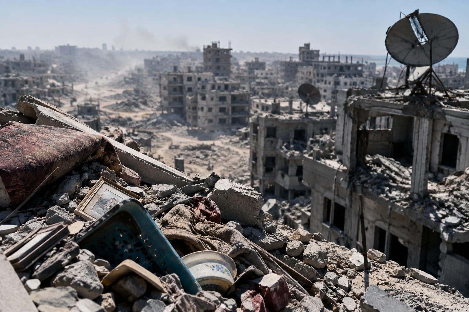
Google has updated its Gaza maps with extensive high-resolution satellite imagery, prompting a wave of reactions from social media users and public figures who say the views reveal apocalyptic levels of destruction. The imagery, which covers areas including Rafah and Gaza City, has been circulated widely online, with users describing flattened neighborhoods, damaged hospitals, and vast stretches of makeshift shelters.
The account @MarioNawfal posted on Saturday, writing, "I'M GOING TO BE SICK." The post continued: "Google updated its Gaza maps with extensive high-res satellite imagery... it's hard to even stomach it. Apocalyptic levels of destruction. We already knew, but for anyone who wasn't convinced... Have a look for yourself. Source: SoarAtlas, Google." The post was accompanied by an image, though the specific contents of that image were not independently verified by Next News Network.
Other accounts quickly picked up the theme. The account @AliAbunimah posted on X, stating, "Google Maps has been updated to show Zionist-holocausted Gaza. This is part of Rafah." That post also included an image, which was not independently verified. The phrase "Zionist-holocausted" is a term used by the account, and its use is quoted here as the account's language.
Coverage of the same subject appeared elsewhere. One report noted that social media users have drawn attention to satellite views of flattened neighborhoods, Al-Shifa Hospital, and vast stretches of makeshift shelters. Another item, labeled "Photo of the Day" and dated Saturday, September 26th, 2026, was titled "Google Maps is Updated to Include Rafah in Gaza. It's Nothing But Dust. How is this Not Ethnic Cleansing?" That item included a photograph, though the image itself was not independently reviewed by Next News Network.
Irish officials also weighed in. A report from three hours ago stated that Micheál Martin, Ireland's Taoiseach, warned of a reckoning when Gaza's full horrors are revealed. The report, titled "'It Will Shame the World': Ireland's Gaza Warning as New Google Earth Satellite Images Reveal Shattered Cities," said that satellite assessments document damage across more than four-fifths of Gaza. The figure "four-fifths" is attributed to that report and has not been independently confirmed by Next News Network.
The imagery update also coincided with a separate development: Israel briefly published unblurred satellite imagery of northern Gaza. According to a report from The Business Standard, the platform GovMap historically blurs the entire Gaza Strip, as well as military bases and other sensitive sites in Israel and the occupied West Bank. The temporary publication represented a rare lapse in that policy. The report did not specify why the imagery was briefly published or how long it remained accessible.
The reactions have spread across multiple platforms and accounts. In addition to @MarioNawfal and @AliAbunimah, the subject has been carried by the Photo of the Day item, the report on Ireland's warning, and the Business Standard report on the GovMap imagery. The accounts and outlets are named here so readers can match the coverage to the embedded posts. No engagement figures are cited, in keeping with Next News Network's policy of not reporting like counts, repost counts, or similar metrics.
The underlying claim—that Google updated its Gaza maps with high-resolution satellite imagery showing extensive destruction—has not been independently confirmed by Next News Network. The imagery described in the posts and coverage could not be verified by this outlet at the time of publication. The descriptions of flattened neighborhoods, damaged hospitals, and makeshift shelters are attributed to the accounts and reports that made them. It is not yet known whether the imagery remains available on Google Maps or whether Google has commented on the update.
Google has not issued a public statement on the matter, according to the available coverage. The specific date of the imagery update is also unclear; the posts began circulating on Saturday, September 27, 2026, but the update itself may have occurred earlier. The coverage does not specify whether the imagery covers all of Gaza or only certain areas, though multiple accounts mention Rafah and northern Gaza.
The reports also do not specify the resolution of the imagery or how it was obtained. The account @MarioNawfal credited "SoarAtlas, Google" as the source. SoarAtlas is not a platform familiar to this outlet, and its role in the imagery update has not been independently verified.
The Irish warning from Micheál Martin was described in the report as a statement about a future reckoning, not a confirmation of specific events on the ground. The report stated that Martin warned of a reckoning when Gaza's full horrors are revealed. The quote "It Will Shame the World" was attributed to the report's headline, not directly to Martin in the available material.
The Business Standard report on GovMap noted that the platform historically blurs the entire Gaza Strip. The report did not indicate whether the brief publication of unblurred imagery was intentional or accidental. It also did not state whether the imagery remains accessible.
Next News Network could not independently verify the claims made in the posts or the coverage. The descriptions of destruction are attributed to the accounts and reports that made them. The imagery update itself is a claim made by those accounts and reports, not a confirmed event.
The wave of reactions illustrates how quickly a maps update can become a focal point for broader debates. The accounts carrying the story include @MarioNawfal, @AliAbunimah, the Photo of the Day item, the report on Ireland's warning, and The Business Standard. Each has framed the imagery in different terms, from personal shock to political accusation. The coverage does not include statements from Google, the Israeli government, or Palestinian authorities.
It is not yet known whether Google will respond to the reactions or whether the imagery will be updated further. The reports also do not indicate whether the imagery has been independently analyzed by satellite experts. The damage assessments mentioned—such as the four-fifths figure—are attributed to the reports that cited them, not to Next News Network's own review.
The timing of the imagery update coincides with ongoing international attention on Gaza. The reports do not specify whether the update was planned or coincidental. The accounts and outlets carrying the story have not provided additional documentation beyond the images they shared.
Next News Network will continue to monitor the story and will report any confirmed developments. As of publication, the claims remain unverified by this outlet.
Our Take
The reaction to Google's Gaza maps update shows how a single imagery refresh can become a referendum on the war itself. The accounts carrying the story—@MarioNawfal, @AliAbunimah, and others—are not neutral observers; they are participants in a broader information battle. The imagery may well show destruction, but the framing around it, from "apocalyptic" to "ethnic cleansing," is doing as much work as the pixels. What is missing is independent verification and context: who took the imagery, when, and what it actually depicts. Until that arrives, the public is left with competing narratives and a maps update that has become a Rorschach test for the war. Google, for its part, has stayed silent, which only invites more speculation. The real shame may not be in the imagery itself, but in how quickly it is conscripted into a political argument before anyone has bothered to check the facts.